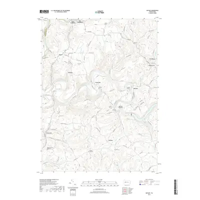
2019 Map of Distant
USGS Topo · Published 2019About this map
Redbank Creek forms the northern boundary of this landscape, separating South Bethlehem from its neighboring settlements in Clarion County. The terrain is defined by the winding paths of Mahoning Creek and its many tributaries, creating a complex series of ridges where small communities like Seminole, Putneyville, and Eddyville took root. The map documents a significant number of rural burial sites and places of worship, including the Saint Marks Lutheran Church Cem and the Rehobeth Reformed Presbyterian Church Cem, which serve as vital markers for genealogical research in this part of Armstrong County.
Find a feature on this map
108 named features on this map. Tap any name to fly to it.
Don’t see what you’re looking for? This feature index may not catch every label — zoom into the map to look around manually.
Map Details
Editions of this 2019 Distant Map
This is the sole edition of this map. No revisions or reprints were ever made.
Other maps of this area

1901 · Rural Valley
USGS Topo · 1:62,500

1903 · Rural Valley
USGS Topo · 1:62,500

1906 · Clarion
USGS Topo · 1:62,500

1907 · Clarion
USGS Topo · 1:62,500

1909 · Smicksburg
USGS Topo · 1:62,500

1924 · Brookville
USGS Topo · 1:62,500

1926 · Brookville
USGS Topo · 1:62,500

1938 · Smicksburg
USGS Topo · 1:62,500

1939 · Smicksburg
USGS Topo · 1:62,500

1944 · Brookville
USGS Topo · 1:62,500