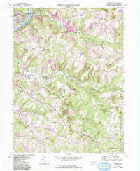
2023 Map of Distant
USGS Topo · Published 2023About this map
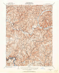
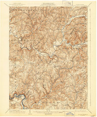
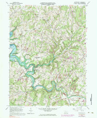
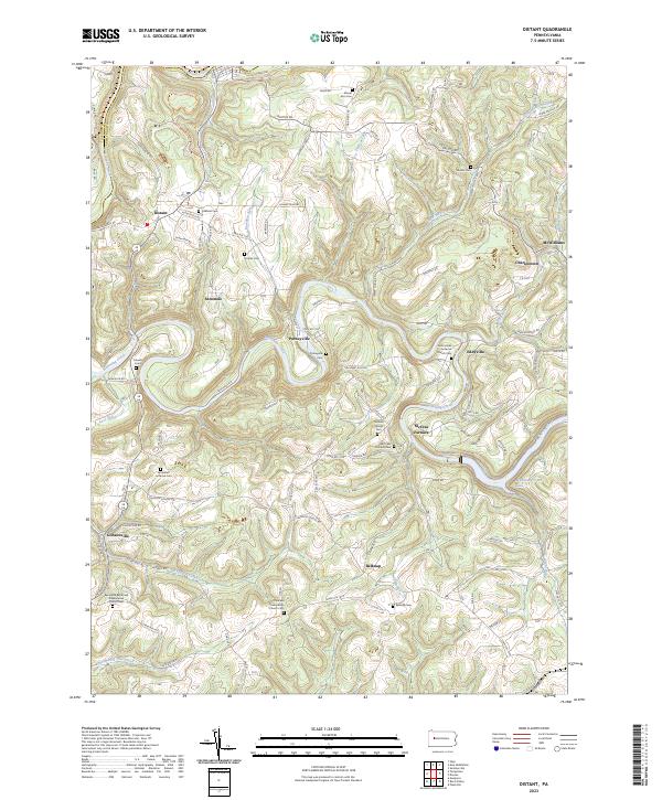
Mahoning Creek winds through a landscape defined by small clusters of settlement and significant genealogical sites along the border of Clarion and Armstrong counties. The village of Putneyville sits at a prominent bend in the creek, while the legacy of early local industry is preserved at McCrea Furnace and the nearby McCreas Furnace Cem. These small rural communities, including Belknap and Eddyville, are connected by a network of winding roads like Dayton Rd and Putneyville Rd that follow the region's complex topography.
Find a feature on this map
93 named features on this map. Tap any name to fly to it.
Don’t see what you’re looking for? This feature index may not catch every label — zoom into the map to look around manually.
Map Details
Editions of this 2023 Distant Map
This is the sole edition of this map. No revisions or reprints were ever made.
Historical Maps of Boggs Township Through Time
8 maps found