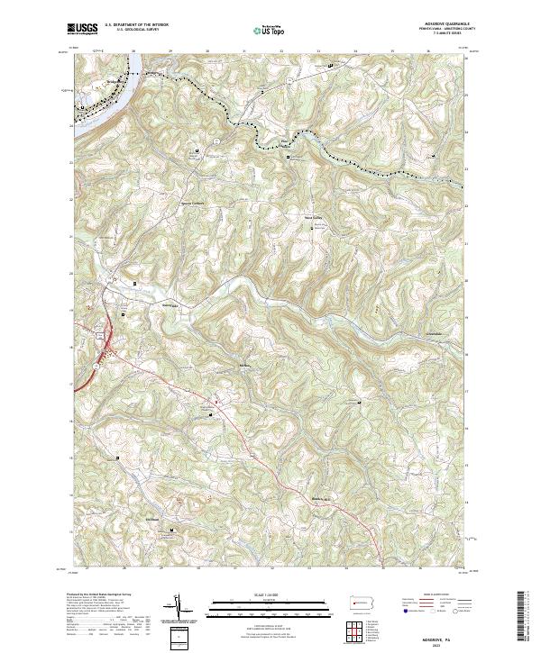
2023 Map of Mosgrove
USGS Topo · Published 2023About this map
Blanket Hill and the surrounding rural landscape of Armstrong County are defined by a complex network of stream valleys and historical crossroads. The Allegheny River forms the northwestern boundary, flanked by the Armstrong Trl and the settlement of Bridgeburg. Moving inland, the terrain is carved by Pine Creek, Cowanshannock Creek, and numerous smaller tributaries like Mill Run and Garretts Run. These waterways historically dictated the placement of early settlements such as Pine Furnace and McNees.
Find a feature on this map
103 named features on this map. Tap any name to fly to it.
Don’t see what you’re looking for? This feature index may not catch every label — zoom into the map to look around manually.
Map Details
Editions of this 2023 Mosgrove Map
This is the sole edition of this map. No revisions or reprints were ever made.
Other maps of this area

1900 · Kittanning
USGS Topo · 1:62,500

1901 · Rural Valley
USGS Topo · 1:62,500

1902 · Kittanning
USGS Topo · 1:62,500

1902 · Elders Ridge
USGS Topo · 1:62,500

1903 · Rural Valley
USGS Topo · 1:62,500

1904 · Elders Ridge
USGS Topo · 1:62,500

1907 · Freeport
USGS Topo · 1:62,500

1909 · Freeport
USGS Topo · 1:62,500

1953 · Pittsburgh
USGS Topo · 1:250,000

1954 · Pittsburgh
USGS Topo · 1:250,000
Featured Places
- Boggs Township, PA
- Plumcreek Township, PA
- Rayburn Township, PA
- Kittanning Township, PA
- Cowanshannock Township, PA