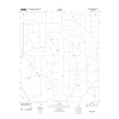
2013 Map of Divide Draw
USGS Topo · Published 2013About this map
The arid ranching landscape of Reagan County is defined by a critical network of water infrastructure and natural drainage patterns. Named windmills such as the North Arndell Windmill, Bullhead Windmill, and Isaac Windmill indicate the vital importance of groundwater in this part of the Edwards Plateau. These features, often associated with specific family names or ranching operations like the North Bates Windmill, are scattered across a terrain carved by ephemeral watercourses.
Find a feature on this map
22 named features on this map. Tap any name to fly to it.
Don’t see what you’re looking for? This feature index may not catch every label — zoom into the map to look around manually.
Map Details
Editions of this 2013 Divide Draw Map
This is the sole edition of this map. No revisions or reprints were ever made.
Other maps of this area

1920 · Big Lake
USGS Topo · 1:62,500

1922 · Big Lake
USGS Topo · 1:62,500

1928 · Rankin
USGS Topo · 1:125,000

1954 · San Angelo
USGS Topo · 1:250,000

1958 · San Angelo
USGS Topo · 1:250,000

1965 · San Angelo
USGS Topo · 1:250,000

1970 · South Mustang Draw SE
USGS Topo · 1:24,000

1970 · South Mustang Draw NE
USGS Topo · 1:24,000

1970 · Moore Hill
USGS Topo · 1:24,000

1970 · Gardener Draw
USGS Topo · 1:24,000