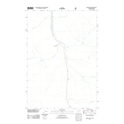
2011 Map of Divide Lake
USGS Topo · Published 2011About this map
Yellowstone National Park defines the western edge of this 2011 survey, where the Gallatin River serves as a primary drainage corridor through the high-elevation terrain. The landscape is characterized by a dense network of mountain tributaries, including Snowslide Creek, Fan Creek, and Terminal Monument Creek, which converge as they flow toward the main river valley. This map provides a clear record of the area's infrastructure and hydrology just after the turn of the 21st century.
Find a feature on this map
11 named features on this map. Tap any name to fly to it.
Don’t see what you’re looking for? This feature index may not catch every label — zoom into the map to look around manually.
Map Details
Editions of this 2011 Divide Lake Map
This is the sole edition of this map. No revisions or reprints were ever made.
Other maps of this area

1885 · Gallatin
USGS Topo · 1:125,000

1885 · Gallatin
USGS Topo · 1:125,000

1888 · Three Forks
USGS Topo · 1:250,000

1891 · Livingston
USGS Topo · 1:250,000

1893 · Livingston
USGS Topo · 1:250,000

1894 · Three Forks
USGS Topo · 1:250,000

1895 · Three Forks
USGS Topo · 1:250,000

1901 · Gallatin
USGS Topo · 1:125,000

1908 · Gallatin
USGS Topo · 1:125,000

1911 · Gallatin
USGS Topo · 1:125,000