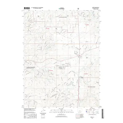
2016 Map of Divide
USGS Topo · Published 2016About this map
Divide stands as a focal point of this high-elevation Colorado survey, situated at the historical gateway of Ute Pass. The surrounding landscape is defined by the protected acreage of the Pike National Forest and the scientific significance of the Florissant Fossil Beds National Monument along the western edge. This area, historically a hub for travelers and early homesteaders, is marked by a complex network of named ridges and gulches, including Revenuer's Ridge and Stone Gulch.
Find a feature on this map
142 named features on this map. Tap any name to fly to it.
Don’t see what you’re looking for? This feature index may not catch every label — zoom into the map to look around manually.
Map Details
Editions of this 2016 Divide Map
This is the sole edition of this map. No revisions or reprints were ever made.
Other maps of this area

1893 · Platte Canyon
USGS Topo · 1:125,000

1894 · Pikes Peak
USGS Topo · 1:125,000

1901 · Pikes Peak
USGS Topo · 1:125,000

1901 · Pikes Peak
USGS Topo · 1:62,500
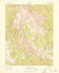
1951 · Pikes Peak
USGS Topo · 1:24,000

1951 · Cripple Creek North
USGS Topo · 1:24,000

1953 · Denver
USGS Topo · 1:250,000

1954 · Mount Deception
USGS Topo · 1:24,000

1954 · Woodland Park
USGS Topo · 1:24,000

1954 · Signal Butte
USGS Topo · 1:24,000