2022 Map of Divide
USGS Topo · Published 2022About this map
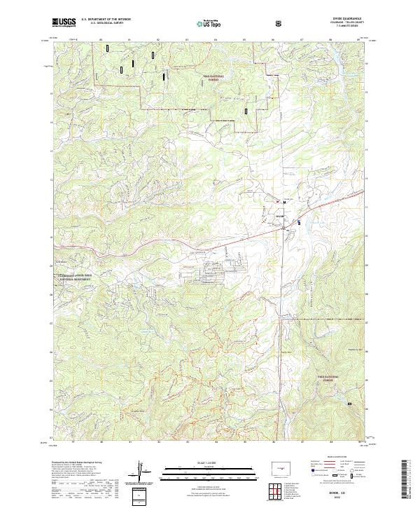
Pike National Forest and the Florissant Fossil Beds National Monument dominate this high-altitude landscape in Teller County. The settlement of Divide serves as a central hub where the Ute Pass PO and Divide Cem are situated, marking a transition between the open mountain valleys and the complex terrain of the Granite Hills. The geography is defined by a series of dramatic gulches such as Stone Gulch, Crazy Gulch, and Redner Gulch, which channel drainage toward several established water bodies including Shadow Lake Reservoir and Coulson Lake. Numerous trails and residential drives, such as Poncha Creek Trl and Spruce Lake Dr, indicate a community deeply integrated into the surrounding wilderness and the geological wonders of the fossil beds to the west.
Find a feature on this map
144 named features on this map. Tap any name to fly to it.
Don’t see what you’re looking for? This feature index may not catch every label — zoom into the map to look around manually.
Map Details
Editions of this 2022 Divide Map
This is the sole edition of this map. No revisions or reprints were ever made.
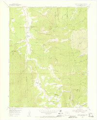
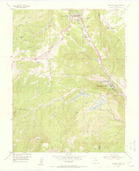
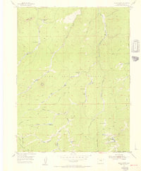
Other maps of this area

1893 · Platte Canyon
USGS Topo · 1:125,000

1894 · Pikes Peak
USGS Topo · 1:125,000

1901 · Pikes Peak
USGS Topo · 1:125,000

1901 · Pikes Peak
USGS Topo · 1:62,500

1951 · Pikes Peak
USGS Topo · 1:24,000

1951 · Cripple Creek North
USGS Topo · 1:24,000

1953 · Denver
USGS Topo · 1:250,000
1954 · Mount Deception
USGS Topo · 1:24,000
1954 · Woodland Park
USGS Topo · 1:24,000
1954 · Signal Butte
USGS Topo · 1:24,000