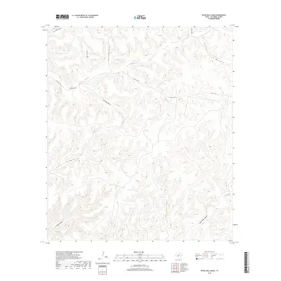
2019 Map of Divide Well Draw
USGS Topo · Published 2019About this map
Divide Well Draw and its network of deeply etched drainages define this portion of Val Verde County, where the landscape is sculpted by intermittent water action. The topography is dominated by numerous canyons and draws, including Oil Well Canyon and Oppenheimer Canyon, which cut through the limestone terrain typical of this part of West Texas. Settlement is sparse, represented primarily by the winding route of Ranch Rd 1024 as it traverses the higher ground between drainage systems. Local landmarks like Rocky Point overlook the junction of major draws, including Devils Draw and Soto Canyon. The naming conventions found on the map, such as New Well Canyon and Live Oak Draw, suggest a history of ranching operations that relied heavily on these specific geographic features for livestock management and water access in an otherwise arid environment.
Find a feature on this map
13 named features on this map. Tap any name to fly to it.
Don’t see what you’re looking for? This feature index may not catch every label — zoom into the map to look around manually.
Map Details
Editions of this 2019 Divide Well Draw Map
This is the sole edition of this map. No revisions or reprints were ever made.
Other maps of this area

1954 · Sonora
USGS Topo · 1:250,000

1958 · Sonora
USGS Topo · 1:250,000

1970 · Everett Canyon
USGS Topo · 1:24,000

1970 · Antone Canyon
USGS Topo · 1:24,000

1970 · Aermotor Draw
USGS Topo · 1:24,000

1970 · Pandale
USGS Topo · 1:24,000

1970 · Steel Star Draw
USGS Topo · 1:24,000

1970 · Little Fielder Draw
USGS Topo · 1:24,000

1970 · Blue Hills
USGS Topo · 1:24,000

1970 · Howards Well SW
USGS Topo · 1:24,000