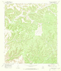
1970 Map of Divide Well Draw
USGS Topo · Published 1973About this map
Devils River cuts through the northern portion of this West Texas landscape, serving as the primary drainage for a network of deeply incised canyons and draws. In the early 1970s, this area of Val Verde County was defined by a ranching economy reliant on scattered water sources. The map documents numerous named wells and windmills essential for livestock, including the Divide Windmill, Warsaw Windmill, and Javelina Windmill.
Find a feature on this map
24 named features on this map. Tap any name to fly to it.
Don’t see what you’re looking for? This feature index may not catch every label — zoom into the map to look around manually.
Map Details
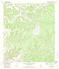
Editions of this 1970 Divide Well Draw Map
2 editions found
Other maps of this area

1954 · Sonora
USGS Topo · 1:250,000

1958 · Sonora
USGS Topo · 1:250,000

1970 · Everett Canyon
USGS Topo · 1:24,000

1970 · Antone Canyon
USGS Topo · 1:24,000

1970 · Aermotor Draw
USGS Topo · 1:24,000

1970 · Pandale
USGS Topo · 1:24,000

1970 · Steel Star Draw
USGS Topo · 1:24,000

1970 · Little Fielder Draw
USGS Topo · 1:24,000

1970 · Blue Hills
USGS Topo · 1:24,000

1970 · Howards Well SW
USGS Topo · 1:24,000