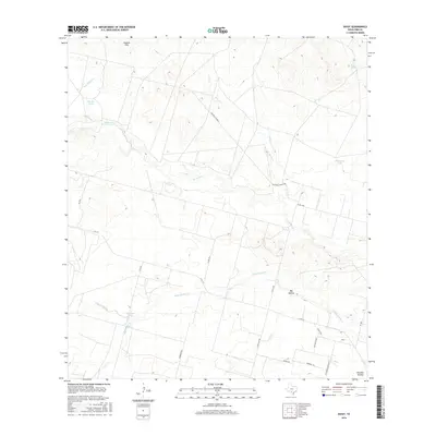
2016 Map of Divot
USGS Topo · Published 2016About this map
The Leona River meanders across this South Texas landscape, anchoring a rural Frio County environment defined by ranching and creek drainages. The small community of Divot is situated in the southeastern corner, where the Old Divot Hwy and FM 1581 converge. The terrain is characterized by a series of low hills and hollows, most notably the English Hills to the north and the deep depressions of Big Hollow and Panther Hollow to the south.
Find a feature on this map
30 named features on this map. Tap any name to fly to it.
Don’t see what you’re looking for? This feature index may not catch every label — zoom into the map to look around manually.
Map Details
Editions of this 2016 Divot Map
This is the sole edition of this map. No revisions or reprints were ever made.
Other maps of this area

1925 · Pearsall 1-b
USGS Topo · 1:48,000

1925 · Pearsall 1-c
USGS Topo · 1:48,000

1927 · Pearsall
USGS Topo · 1:62,500

1942 · Divot
USGS Topo · 1:62,500

1942 · Dilley
USGS Topo · 1:62,500

1953 · Crystal City
USGS Topo · 1:250,000

1955 · Crystal City
USGS Topo · 1:250,000

1956 · Woodward
USGS Topo · 1:62,500

1956 · Divot
USGS Topo · 1:62,500

1961 · Crystal City
USGS Topo · 1:250,000