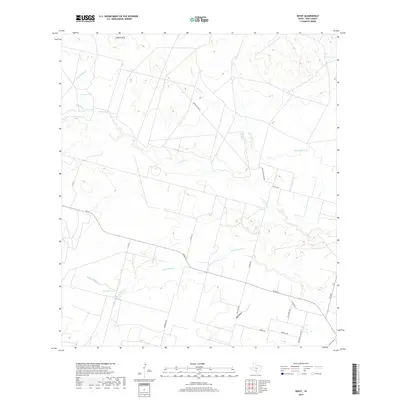
2019 Map of Divot
USGS Topo · Published 2019About this map
The Leona River meanders across this South Texas landscape, carving a fertile corridor through the brush country of Frio County. This modern survey illustrates a network of ranching infrastructure and intermittent water sources, characterized by cattle tanks such as Pancho Tank, Muchacho Tank, and Live Oak Tank. The terrain rises to the English Hills in the north, while various drainages like Todos Santos Cr and Goat Hollow Cr define the local hydrology. Transport routes are a mix of established state roads like FM 117 and localized thoroughfares such as Berrones Rd and Old Divot Hwy. The map provides a detailed look at the rural economy of the region, where property boundaries often follow the contours of the land or these long-standing roadway corridors, such as Rocking S Ranch Rd.
Find a feature on this map
29 named features on this map. Tap any name to fly to it.
Don’t see what you’re looking for? This feature index may not catch every label — zoom into the map to look around manually.
Map Details
Editions of this 2019 Divot Map
This is the sole edition of this map. No revisions or reprints were ever made.
Other maps of this area

1925 · Pearsall 1-b
USGS Topo · 1:48,000

1925 · Pearsall 1-c
USGS Topo · 1:48,000

1927 · Pearsall
USGS Topo · 1:62,500

1942 · Divot
USGS Topo · 1:62,500

1942 · Dilley
USGS Topo · 1:62,500

1953 · Crystal City
USGS Topo · 1:250,000

1955 · Crystal City
USGS Topo · 1:250,000

1956 · Woodward
USGS Topo · 1:62,500

1956 · Divot
USGS Topo · 1:62,500

1961 · Crystal City
USGS Topo · 1:250,000