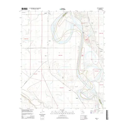
2015 Map of Dixie
USGS Topo · Published 2015About this map
The Red River defines the landscape as it winds through the alluvial plains of Caddo Parish and Bossier Parish. This modern topographic survey illustrates the complex hydrology of the Red River Valley, where abandoned river channels and oxbow formations are visible as Moon Lake Bed and Gold Point Lake. To the west of the river's main channel, the small communities of Dixie, Hayti, and Belcher are situated along the transportation corridor that follows the edge of the wetlands.
Find a feature on this map
47 named features on this map. Tap any name to fly to it.
Don’t see what you’re looking for? This feature index may not catch every label — zoom into the map to look around manually.
Map Details
Editions of this 2015 Dixie Map
This is the sole edition of this map. No revisions or reprints were ever made.
Other maps of this area

1932 · Bossier SW
USGS Topo · 1:31,680

1932 · Shreveport SE
USGS Topo · 1:31,680

1932 · Hosston SW
USGS Topo · 1:31,680

1932 · Hosston SE
USGS Topo · 1:31,680

1932 · Bossier NW
USGS Topo · 1:31,680

1932 · Shreveport NE
USGS Topo · 1:31,680

1948 · Mooringsport
USGS Topo · 1:62,500

1948 · Vivian
USGS Topo · 1:62,500

1948 · Bossier City
USGS Topo · 1:62,500

1950 · Plain Dealing SW
USGS Topo · 1:31,680