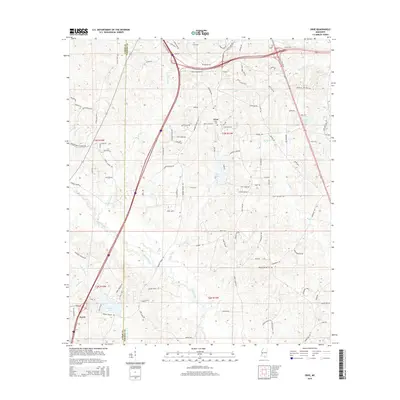
2015 Map of Dixie
USGS Topo · Published 2015About this map
Dixie sits near the crossing of Bonhomie Rd and Dixie Church Rd in a landscape defined by the winding paths of Black Creek and Walls Creek. This 2015 survey shows a rural area where forest and farm plots are divided by a dense network of local roads such as Arnett Rd and Browns Bridge Rd. The map provides specific locations for researchers tracing local families, including Clark Cem, Dixie Cem, and the Mineral Springs Cem. Water features are prominent throughout the quadrangle, from the larger Beaver Lake and Elks Lake to smaller tributaries like Tan Trough Cr and Sweatmans Cr. The boundary between Lamar County and Forrest County bisects the western portion of the sheet, providing a precise record of late-modern property and political lines.
Find a feature on this map
117 named features on this map. Tap any name to fly to it.
Don’t see what you’re looking for? This feature index may not catch every label — zoom into the map to look around manually.
Map Details
Editions of this 2015 Dixie Map
This is the sole edition of this map. No revisions or reprints were ever made.
Other maps of this area

1947 · New Augusta
USGS Topo · 1:62,500

1949 · New Augusta
USGS Topo · 1:62,500

1953 · Hattiesburg
USGS Topo · 1:250,000

1958 · Hattiesburg
USGS Topo · 1:250,000

1963 · Rock Hill
USGS Topo · 1:24,000

1964 · Carterville
USGS Topo · 1:24,000

1964 · Purvis
USGS Topo · 1:24,000

1964 · Hattiesburg
USGS Topo · 1:24,000

1964 · Lumberton
USGS Topo · 1:24,000

1965 · Hattiesburg SW
USGS Topo · 1:24,000