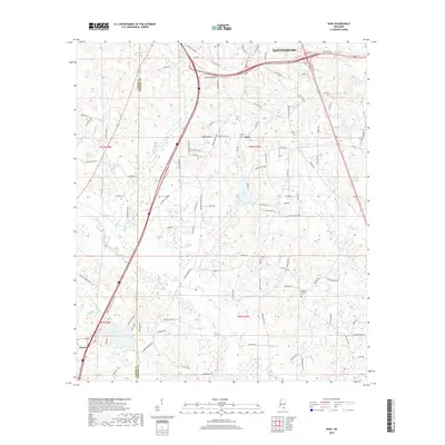
2018 Map of Dixie
USGS Topo · Published 2018About this map
The southern fringes of Hattiesburg give way to the rural landscapes of the Dixie community and the northern edge of Purvis in this 2018 survey. This portion of the Pine Belt is defined by its complex drainage network, where Black Creek and Black Tom Cr wind through the terrain alongside numerous smaller tributaries like Priests Cr and Tan-Trough Cr. The map reveals a transition from the urban density of the north to a pattern of sprawling homesteads and family-named roads, including Roy Tucker Rd and Bob Brown Rd.
Find a feature on this map
106 named features on this map. Tap any name to fly to it.
Don’t see what you’re looking for? This feature index may not catch every label — zoom into the map to look around manually.
Map Details
Editions of this 2018 Dixie Map
This is the sole edition of this map. No revisions or reprints were ever made.
Other maps of this area

1947 · New Augusta
USGS Topo · 1:62,500

1949 · New Augusta
USGS Topo · 1:62,500

1953 · Hattiesburg
USGS Topo · 1:250,000

1958 · Hattiesburg
USGS Topo · 1:250,000

1963 · Rock Hill
USGS Topo · 1:24,000

1964 · Carterville
USGS Topo · 1:24,000

1964 · Purvis
USGS Topo · 1:24,000

1964 · Hattiesburg
USGS Topo · 1:24,000

1964 · Lumberton
USGS Topo · 1:24,000

1965 · Hattiesburg SW
USGS Topo · 1:24,000