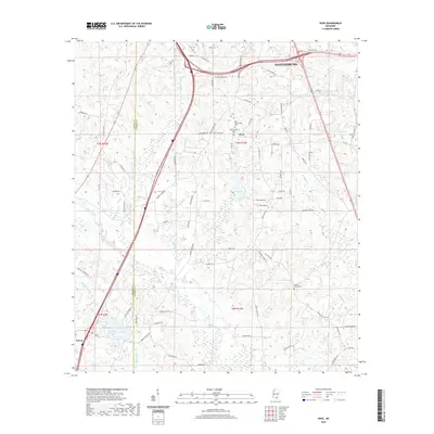
2020 Map of Dixie
USGS Topo · Published 2020About this map
Hattiesburg anchors the northern reaches of this Mississippi landscape, where the urban edge gives way to the creek-fed lowlands of the Black Creek basin. The area around Dixie serves as a local hub, defined by the Dixie Baptist Church and a cluster of nearby burial grounds including Dixie Community Cem and the Dixie Baptist Church Cem. This terrain is deeply etched by a network of drainage systems, from the meandering Priests Cr to the larger Black Creek which cuts through the southern half of the quadrangle.
Find a feature on this map
84 named features on this map. Tap any name to fly to it.
Don’t see what you’re looking for? This feature index may not catch every label — zoom into the map to look around manually.
Map Details
Editions of this 2020 Dixie Map
This is the sole edition of this map. No revisions or reprints were ever made.
Other maps of this area

1947 · New Augusta
USGS Topo · 1:62,500

1949 · New Augusta
USGS Topo · 1:62,500

1953 · Hattiesburg
USGS Topo · 1:250,000

1958 · Hattiesburg
USGS Topo · 1:250,000

1963 · Rock Hill
USGS Topo · 1:24,000

1964 · Carterville
USGS Topo · 1:24,000

1964 · Purvis
USGS Topo · 1:24,000

1964 · Hattiesburg
USGS Topo · 1:24,000

1964 · Lumberton
USGS Topo · 1:24,000

1965 · Hattiesburg SW
USGS Topo · 1:24,000