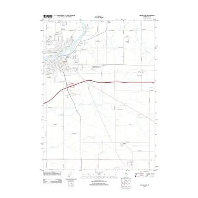
2012 Map of Dixon East
USGS Topo · Published 2012About this map
The Rock River defines the landscape of Lee County as it flows through the eastern edge of Dixon. This 2012 survey illustrates the transition from the city's residential streets—including Apple St and Woodlawn Ave—to the surrounding agricultural plains. The area is notable for several aviation landmarks, including the Dixon Municipal Airport-Charles R. Walgreen Field and the smaller Bally's Strip Airport to the north.
Find a feature on this map
99 named features on this map. Tap any name to fly to it.
Don’t see what you’re looking for? This feature index may not catch every label — zoom into the map to look around manually.
Map Details
Editions of this 2012 Dixon East Map
This is the sole edition of this map. No revisions or reprints were ever made.
Other maps of this area

1918 · Dixon
USGS Topo · 1:62,500

1930 · Woodsung
USGS Topo · 1:48,000

1946 · Sterling
USGS Topo · 1:62,500

1948 · Sterling
USGS Topo · 1:62,500

1949 · Walnut
USGS Topo · 1:62,500

1950 · Dixon
USGS Topo · 1:62,500

1951 · Amboy
USGS Topo · 1:62,500

1958 · Aurora
USGS Topo · 1:250,000

1961 · Aurora
USGS Topo · 1:250,000

1982 · Harmon
USGS Topo · 1:24,000