
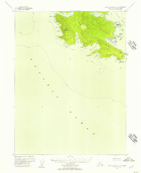
1951 Map of Dixon Entrance
USGS Topo · Published 1953About this map
Prince of Wales Island and the surrounding Alexander Archipelago dominate this 1951 survey of the maritime boundary between Alaska and British Columbia. The intricate coastline is defined by deep inlets and narrow passages like the Tlevak Strait and Howkan Narrows, which have long served as essential marine corridors for the Haida and Tlingit people. Settlements such as Howkan and Klinkwan are situated on these vital waterways, reflecting the region's reliance on the sea for transport and sustenance.
Find a feature on this map
112 named features on this map. Tap any name to fly to it.
Don’t see what you’re looking for? This feature index may not catch every label — zoom into the map to look around manually.
Map Details
Editions of this 1951 Dixon Entrance Map
This is the sole edition of this map. No revisions or reprints were ever made.
Other maps of this area

1948 · Craig A-4
USGS Topo · 1:63,360

1948 · Dixon Entrance D-5
USGS Topo · 1:63,360

1948 · Craig A-5
USGS Topo · 1:63,360

1948 · Dixon Entrance D-2
USGS Topo · 1:63,360

1948 · Prince Rupert D-6
USGS Topo · 1:63,360
1948 · Dixon Entrance C-3
USGS Topo · 1:63,360

1948 · Dixon Entrance C-1
USGS Topo · 1:63,360

1948 · Dixon Entrance D-4
USGS Topo · 1:63,360

1948 · Ketchikan A-6
USGS Topo · 1:63,360

1948 · Craig A-1
USGS Topo · 1:63,360