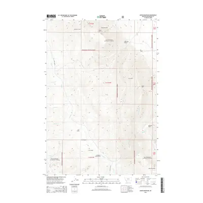
2014 Map of Dixon Mountain
USGS Topo · Published 2014About this map
The Tendoy Mountains define this high-elevation landscape in Beaverhead County, dominated by the sprawling acreage of the Beaverhead National Forest. This 2014 survey captures a wilderness area shaped by dramatic vertical relief, from the summit of Dixon Mtn to the depths of McKnight Canyon and Little Water Canyon. The drainage network is complex, with Muddy Cr and its tributaries such as MeNinch Cr and Johnson Cr cutting through the western slopes, while Big Sheep Cr and Hidden Pasture Cr flow through the eastern reaches.
Find a feature on this map
29 named features on this map. Tap any name to fly to it.
Don’t see what you’re looking for? This feature index may not catch every label — zoom into the map to look around manually.
Map Details
Editions of this 2014 Dixon Mountain Map
This is the sole edition of this map. No revisions or reprints were ever made.
Other maps of this area

1955 · Dubois
USGS Topo · 1:250,000

1958 · Dubois
USGS Topo · 1:250,000

1965 · Kidd
USGS Topo · 1:24,000

1965 · Caboose Canyon
USGS Topo · 1:24,000

1965 · Gallagher Gulch
USGS Topo · 1:24,000

1965 · Briggs Ranch
USGS Topo · 1:24,000

1965 · Graphite Mountain
USGS Topo · 1:24,000

1965 · Deer Canyon
USGS Topo · 1:24,000

1965 · Dixon Mountain
USGS Topo · 1:24,000

1965 · Dell
USGS Topo · 1:24,000