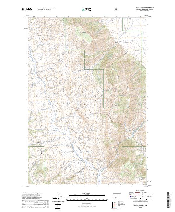
2024 Map of Dixon Mountain
USGS Topo · Published 2024About this map
Dixon Mtn and Timber Butte dominate this section of the Tendoy Mountains, where the high-altitude landscape of Beaverhead County is shaped by a network of drainage canyons and natural springs. Part of the Beaverhead National Forest, the terrain is defined by deep cuts like Rock Canyon and Williamson Wood Canyon that feed into the valley systems below. Early access and movement through this backcountry are marked by primitive routes such as Muddy Creek Rd and Big Sheep Creek Rd, which follow the natural contours of the waterways. Named water sources like Harkness Spring and Rock Spring provide critical points of interest in a region primarily used for timber management and grazing. The complex drainage patterns of Big Sheep Creek and its tributaries, including Hidden Pasture Creek, reflect the hydrologic importance of this montane environment.
Find a feature on this map
27 named features on this map. Tap any name to fly to it.
Don’t see what you’re looking for? This feature index may not catch every label — zoom into the map to look around manually.
Map Details
Editions of this 2024 Dixon Mountain Map
This is the sole edition of this map. No revisions or reprints were ever made.
Other maps of this area

1955 · Dubois
USGS Topo · 1:250,000

1958 · Dubois
USGS Topo · 1:250,000

1965 · Kidd
USGS Topo · 1:24,000

1965 · Caboose Canyon
USGS Topo · 1:24,000

1965 · Gallagher Gulch
USGS Topo · 1:24,000

1965 · Briggs Ranch
USGS Topo · 1:24,000

1965 · Graphite Mountain
USGS Topo · 1:24,000

1965 · Deer Canyon
USGS Topo · 1:24,000

1965 · Dixon Mountain
USGS Topo · 1:24,000

1965 · Dell
USGS Topo · 1:24,000