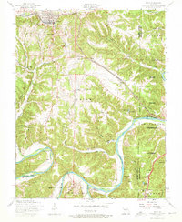
1954 Map of Dixon
USGS Topo · Published 1974About this map
The town of Dixon serves as the primary hub on this mid-century survey, situated along the ST Louis and San Francisco railroad line. The landscape is defined by the winding course of the Gasconade River, which carves through the terrain to create distinctive features like Portuguese Point and several subterranean formations, including Bruce Cave and Onyx Cave. The convergence of the Big Piney River with the Gasconade further south highlights a river-based geography that shaped local development and land use within the Mark Twain National Forest boundaries.
Find a feature on this map
88 named features on this map. Tap any name to fly to it.
Don’t see what you’re looking for? This feature index may not catch every label — zoom into the map to look around manually.
Map Details
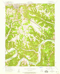
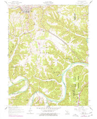
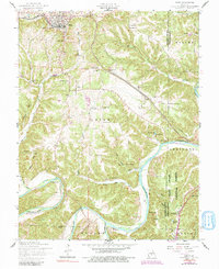
Editions of this 1954 Dixon Map
4 editions found
Other maps of this area

1888 · Tuscumbia
USGS Topo · 1:125,000

1894 · Tuscumbia
USGS Topo · 1:125,000

1912 · Rolla
USGS Topo · 1:62,500

1936 · Waynesville
USGS Topo · 1:48,000

1937 · Vienna
USGS Topo · 1:62,500

1938 · Vienna
USGS Topo · 1:48,000

1942 · Waynesville
USGS Topo · 1:62,500

1944 · Waynesville
USGS Topo · 1:62,500

1947 · Jefferson City
USGS Topo · 1:250,000

1948 · Tavern
USGS Topo · 1:62,500