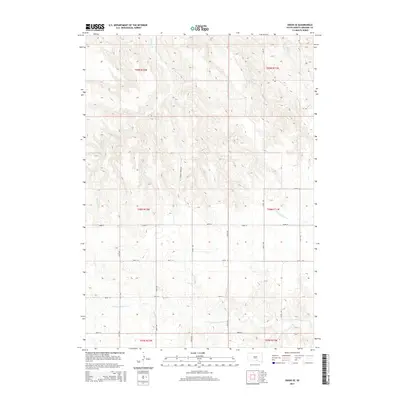
2015 Map of Dixon SE
USGS Topo · Published 2015About this map
Landing Cr and the S Fork Whetstone Cr define the drainage patterns across this Gregory County landscape, where the terrain transitions between the high plateaus and the dissected breaks of the Missouri River watershed. This 2015 survey illustrates a rural South Dakota grid system adapted to the land's natural contours, with roads such as W Landing Creek Rd and Lucas Rd following the high ridges while avoiding the steeper draws of the creeks. The map provides a clear picture of modern land division within several townships, including t98n r72w and t99n r71w, showing how 21st-century agriculture and ranching remain closely tied to the available water sources in this semi-arid region. Researchers can observe the interplay between section lines like 283rd St and the winding paths of the local waterways.
Find a feature on this map
21 named features on this map. Tap any name to fly to it.
Don’t see what you’re looking for? This feature index may not catch every label — zoom into the map to look around manually.
Map Details
Editions of this 2015 Dixon SE Map
This is the sole edition of this map. No revisions or reprints were ever made.
Other maps of this area

1955 · Mitchell
USGS Topo · 1:250,000

1959 · Mitchell
USGS Topo · 1:250,000

1964 · Herrick NW
USGS Topo · 1:24,000

1964 · Gregory
USGS Topo · 1:24,000
1964 · Burke
USGS Topo · 1:24,000

1971 · Lucas NW
USGS Topo · 1:24,000

1971 · Dixon SW
USGS Topo · 1:24,000

1971 · Lucas
USGS Topo · 1:24,000

1971 · Dixon
USGS Topo · 1:24,000

1971 · Dixon SE
USGS Topo · 1:24,000