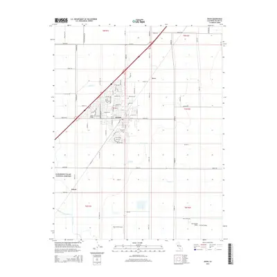
2015 Map of Dixon
USGS Topo · Published 2015About this map
Dixon sits at the heart of this agricultural corridor in the Central Valley, where a dense grid of rural roads and residential development meets the open fields of Solano County. The map details the transition from the concentrated neighborhoods of the city, featuring names like Wiegand Way and Stratford Ave, to the expansive rural sections defined by historic family-named routes such as Sparks Ranch Rd and Rehrmann Dr.
Find a feature on this map
88 named features on this map. Tap any name to fly to it.
Don’t see what you’re looking for? This feature index may not catch every label — zoom into the map to look around manually.
Map Details
Editions of this 2015 Dixon Map
This is the sole edition of this map. No revisions or reprints were ever made.
Other maps of this area

1907 · Woodland
USGS Topo · 1:62,500

1907 · Davisville
USGS Topo · 1:62,500

1908 · Vacaville
USGS Topo · 1:62,500

1908 · Courtland
USGS Topo · 1:62,500

1915 · Swingle
USGS Topo · 1:31,680

1915 · Merritt
USGS Topo · 1:31,680

1916 · Dixon
USGS Topo · 1:31,680

1916 · Cache Slough
USGS Topo · 1:31,680

1916 · Winters
USGS Topo · 1:31,680

1916 · Maine Prairie
USGS Topo · 1:31,680