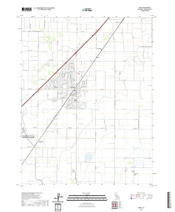
2021 Map of Dixon
USGS Topo · Published 2021About this map
The town of Dixon sits as a central hub on the agricultural landscape of Central Valley, where the transition from Dixon Ridge meets the flatlands of the Sacramento Valley. This modern survey illustrates the persistent importance of early transportation corridors, with routes like Midway Rd and Rio Dixon Rd anchoring the local grid. Notable landmarks include the Sacramento Valley National Cem and the older Silveyville Cem, which preserve the regional history of the Solano County plains. The drainage of Dickson Cr and Sweany Creek defines the hydrological character of the area, supporting the surrounding farmlands. Smaller named locations like Sucro and Batavia mark the rail-and-road junctions that once served as vital shipping points for the valley's agricultural output. The presence of the Maine Prairie Airport to the south further highlights the area's continued role in regional transit and utility.
Find a feature on this map
92 named features on this map. Tap any name to fly to it.
Don’t see what you’re looking for? This feature index may not catch every label — zoom into the map to look around manually.
Map Details
Editions of this 2021 Dixon Map
This is the sole edition of this map. No revisions or reprints were ever made.
Other maps of this area

1907 · Woodland
USGS Topo · 1:62,500

1907 · Davisville
USGS Topo · 1:62,500

1908 · Vacaville
USGS Topo · 1:62,500

1908 · Courtland
USGS Topo · 1:62,500

1915 · Swingle
USGS Topo · 1:31,680

1915 · Merritt
USGS Topo · 1:31,680

1916 · Dixon
USGS Topo · 1:31,680

1916 · Cache Slough
USGS Topo · 1:31,680

1916 · Winters
USGS Topo · 1:31,680

1916 · Maine Prairie
USGS Topo · 1:31,680