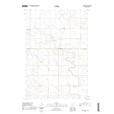
2020 Map of Doaks Butte
USGS Topo · Published 2020About this map
The Little Missouri River snakes across this high plains borderland, cutting a deep, meandering course through the topography of Harding County. Centered on Doaks Butte, the landscape is defined by the drainage systems of Boxelder Creek, Soda Cr, and Scott Cr. This is a working landscape of the modern West, where infrastructure like Oil Well Rd and Oil Field Rd signals the area's energy industry, while the north-south artery of Camp Crook Rd provides the primary transit through the region. The map highlights the precise state boundary where South Dakota meets North Dakota, illustrating the remote intersection of Bowman and Harding counties within the vast Missouri River watershed.
Find a feature on this map
19 named features on this map. Tap any name to fly to it.
Don’t see what you’re looking for? This feature index may not catch every label — zoom into the map to look around manually.
Map Details
Editions of this 2020 Doaks Butte Map
This is the sole edition of this map. No revisions or reprints were ever made.
Other maps of this area

1935 · Buffalo
USGS Topo · 1:125,000

1953 · Miles City
USGS Topo · 1:250,000

1953 · Dickinson
USGS Topo · 1:250,000

1954 · Lemmon
USGS Topo · 1:250,000

1954 · Ekalaka
USGS Topo · 1:250,000

1956 · Ekalaka
USGS Topo · 1:250,000

1957 · Dickinson
USGS Topo · 1:250,000

1957 · Lemmon
USGS Topo · 1:250,000

1957 · Miles City
USGS Topo · 1:250,000

1958 · Miles City
USGS Topo · 1:250,000