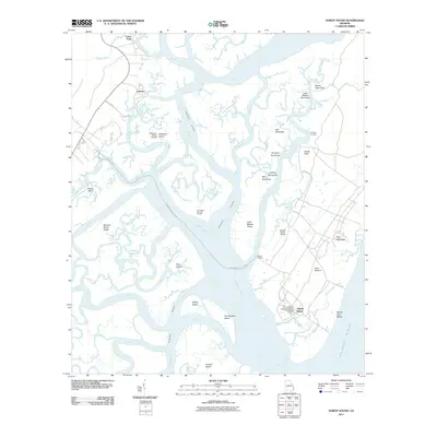
2011 Map of Doboy Sound
USGS Topo · Published 2011About this map
Sapelo Island and its surrounding tidal marshes dominate this coastal Georgia survey, which documents the complex geography of Doboy Sound and its interconnected waterways. The map highlights the island's unique cultural landscape, centered on the settlement of Hog Hammock and the research facilities of the University of Georgia Marine Institute. Maritime history is etched into the terrain at the Old Sailors Burying Ground, situated near the Intracoastal Waterway. On the mainland, the small communities of Valona and Cedar Point mark the edge of the vast estuary system. The map reveals a landscape defined by names like Jack Hammock, Fishing Hammock, and Flora Bottom, illustrating the traditional nomenclature of these elevated coastal rises. Transport remains primarily waterborne and aerial, evidenced by Marsh Landing and the Sapelo Island Airport.
Find a feature on this map
60 named features on this map. Tap any name to fly to it.
Don’t see what you’re looking for? This feature index may not catch every label — zoom into the map to look around manually.
Map Details
Editions of this 2011 Doboy Sound Map
This is the sole edition of this map. No revisions or reprints were ever made.
Other maps of this area

1920 · Sapelo River
USGS Topo · 1:62,500

1920 · Cabretta Island
USGS Topo · 1:62,500

1921 · Darien
USGS Topo · 1:62,500

1928 · St Catherines Island
USGS Topo · 1:62,500

1943 · St Catherines Island
USGS Topo · 1:62,500

1943 · Sapelo River
USGS Topo · 1:62,500

1944 · Cabretta Island
USGS Topo · 1:62,500

1945 · St. Catherine's Island
USGS Topo · 1:62,500

1945 · Sapelo River
USGS Topo · 1:62,500

1946 · Brunswick
USGS Topo · 1:250,000