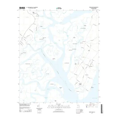
2014 Map of Doboy Sound
USGS Topo · Published 2014About this map
The coastal fishing village of Valona and the shoreline of Cedar Point anchor the mainland portion of this 2014 survey. A complex network of tidal passages, including the Intracoastal Waterway, Mud River, and Creighton Narrows, separates the Georgia coast from a series of barrier islands and hammocks. On Sapelo Island, the community of Hog Hammock and landmarks like Kenan Field illustrate the unique settlement patterns of this secluded landscape.
Find a feature on this map
102 named features on this map. Tap any name to fly to it.
Don’t see what you’re looking for? This feature index may not catch every label — zoom into the map to look around manually.
Map Details
Editions of this 2014 Doboy Sound Map
This is the sole edition of this map. No revisions or reprints were ever made.
Other maps of this area

1920 · Sapelo River
USGS Topo · 1:62,500

1920 · Cabretta Island
USGS Topo · 1:62,500

1921 · Darien
USGS Topo · 1:62,500

1928 · St Catherines Island
USGS Topo · 1:62,500

1943 · St Catherines Island
USGS Topo · 1:62,500

1943 · Sapelo River
USGS Topo · 1:62,500

1944 · Cabretta Island
USGS Topo · 1:62,500

1945 · St. Catherine's Island
USGS Topo · 1:62,500

1945 · Sapelo River
USGS Topo · 1:62,500

1946 · Brunswick
USGS Topo · 1:250,000