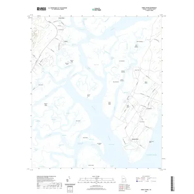
2020 Map of Doboy Sound
USGS Topo · Published 2020About this map
Sapelo Island dominates this coastal survey, showcasing a landscape of tidal marshes and maritime forests in McIntosh County. The community of Hog Hammock serves as a cultural anchor on the island, reachable through a network of roads like Autobahn and Cone Rd. The map reveals a complex system of estuarine waterways, including Doboy Sound and the Duplin River, which separate the barrier islands from the mainland settlements of Valona and Cedar Point.
Find a feature on this map
91 named features on this map. Tap any name to fly to it.
Don’t see what you’re looking for? This feature index may not catch every label — zoom into the map to look around manually.
Map Details
Editions of this 2020 Doboy Sound Map
This is the sole edition of this map. No revisions or reprints were ever made.
Other maps of this area

1920 · Sapelo River
USGS Topo · 1:62,500

1920 · Cabretta Island
USGS Topo · 1:62,500

1921 · Darien
USGS Topo · 1:62,500

1928 · St Catherines Island
USGS Topo · 1:62,500

1943 · St Catherines Island
USGS Topo · 1:62,500

1943 · Sapelo River
USGS Topo · 1:62,500

1944 · Cabretta Island
USGS Topo · 1:62,500

1945 · St. Catherine's Island
USGS Topo · 1:62,500

1945 · Sapelo River
USGS Topo · 1:62,500

1946 · Brunswick
USGS Topo · 1:250,000