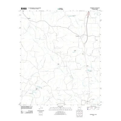
2011 Map of Doddridge
USGS Topo · Published 2011About this map
The Rodessa Oil and Gas Field dominates the central landscape of this border region, reflecting the industrial character of the Arkansas and Louisiana state line. Small communities and named junctions like Brightstar, Doddridge, Kiblah, and Capps City are connected by a dense network of county roads, such as County Rd-168 and Rodessa Cemetery Rd. The terrain is defined by the complex hydrology of the West Fork Kelly Bayou and East Fork Kelly Bayou, which feed into various man-made reservoirs.
Find a feature on this map
67 named features on this map. Tap any name to fly to it.
Don’t see what you’re looking for? This feature index may not catch every label — zoom into the map to look around manually.
Map Details
Editions of this 2011 Doddridge Map
This is the sole edition of this map. No revisions or reprints were ever made.
Other maps of this area

1907 · Atlanta
USGS Topo · 1:62,500

1910 · Atlanta
USGS Topo · 1:62,500

1932 · Hosston NW
USGS Topo · 1:31,680

1932 · Hosston NE
USGS Topo · 1:31,680

1944 · Kildare
USGS Topo · 1:62,500

1948 · Kildare
USGS Topo · 1:62,500

1948 · Vivian
USGS Topo · 1:62,500

1952 · Doddridge SE
USGS Topo · 1:24,000

1952 · Doddridge NW
USGS Topo · 1:24,000

1952 · Doddridge
USGS Topo · 1:24,000