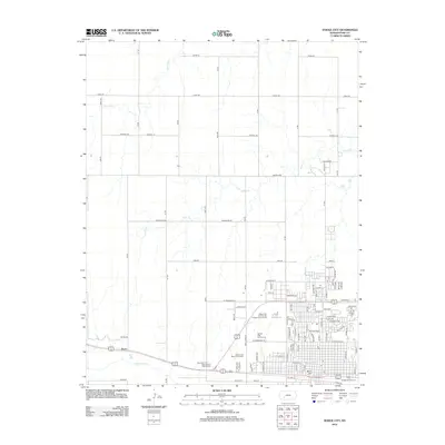
2012 Map of Dodge City
USGS Topo · Published 2012About this map
Boot Hill and the historical core of this storied Kansas cattle town appear alongside modern educational and recreational developments in this 2012 survey. The urban layout is anchored by the Arkansas River, which flows along the southern edge of the city, paralleled by major thoroughfares like W Trail St and E Trail St. The map highlights the significant campus of Dodge City Community College, including the specialized Dodge City Community College Rodeo Arena, reflecting the region's enduring ranching heritage. Beyond the city center, the landscape transitions into the grid-patterned rural reaches of Ford County, drained by Saw Log Cr and Duck Cr. To the west, the settlement of Sears and the Gunsmoke Trav - L - Recreational Vehicle Park illustrate the continued importance of the corridor leading into the high plains.
Find a feature on this map
46 named features on this map. Tap any name to fly to it.
Don’t see what you’re looking for? This feature index may not catch every label — zoom into the map to look around manually.
Map Details
Editions of this 2012 Dodge City Map
This is the sole edition of this map. No revisions or reprints were ever made.
Other maps of this area

1892 · Dodge
USGS Topo · 1:125,000

1892 · Spearville
USGS Topo · 1:125,000

1894 · Spearville
USGS Topo · 1:125,000

1955 · Pratt
USGS Topo · 1:250,000

1955 · Dodge City
USGS Topo · 1:250,000

1958 · Dodge City
USGS Topo · 1:250,000

1959 · Pratt
USGS Topo · 1:250,000

1959 · Dodge City
USGS Topo · 1:250,000

1968 · Dodge City NE
USGS Topo · 1:24,000

1968 · Dodge City NW
USGS Topo · 1:24,000