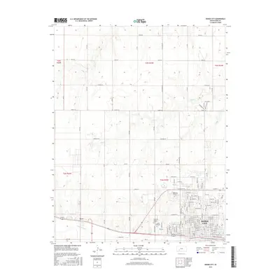
2016 Map of Dodge City
USGS Topo · Published 2016About this map
Dodge City is the focal point of this survey, shown as it has expanded across the banks of the Arkansas River. The city's legendary past is anchored at Boot Hill, while its modern footprint is defined by institutional and residential growth, including the Dodge City Community College and the neighborhood of San Jose. To the west, the settlement of Sears borders the river, which snakes through the southern portion of the landscape. Beyond the urban grid, the terrain is shaped by the drainage of Duck Creek and Saw Log Creek. The outskirts feature significant local sites such as Maple Grove Cemetery and Greencrest Memorial Garden, providing a detailed look at the infrastructure of this iconic high-plains community during the mid-2010s.
Find a feature on this map
66 named features on this map. Tap any name to fly to it.
Don’t see what you’re looking for? This feature index may not catch every label — zoom into the map to look around manually.
Map Details
Editions of this 2016 Dodge City Map
This is the sole edition of this map. No revisions or reprints were ever made.
Other maps of this area

1892 · Dodge
USGS Topo · 1:125,000

1892 · Spearville
USGS Topo · 1:125,000

1894 · Spearville
USGS Topo · 1:125,000

1955 · Pratt
USGS Topo · 1:250,000

1955 · Dodge City
USGS Topo · 1:250,000

1958 · Dodge City
USGS Topo · 1:250,000

1959 · Pratt
USGS Topo · 1:250,000

1959 · Dodge City
USGS Topo · 1:250,000

1968 · Dodge City NE
USGS Topo · 1:24,000

1968 · Dodge City NW
USGS Topo · 1:24,000