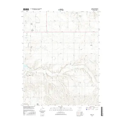
2016 Map of Dodge
USGS Topo · Published 2016About this map
The eastern edges of Grove and the winding northern shoreline of Grand Lake of the Cherokees define this section of Delaware County. This 2016 survey shows a landscape heavily marked by family and community history, with an unusually high density of small cemeteries scattered across the terrain, including Pollan Cem, Sloan Cem, and Scraper Cem. The terrain is deeply incised by several watercourses like Honey Cr and Elm Cr that feed into the larger reservoir system.
Find a feature on this map
45 named features on this map. Tap any name to fly to it.
Don’t see what you’re looking for? This feature index may not catch every label — zoom into the map to look around manually.
Map Details
Editions of this 2016 Dodge Map
This is the sole edition of this map. No revisions or reprints were ever made.
Other maps of this area

1899 · Siloam Springs
USGS Topo · 1:125,000

1903 · Siloam Springs
USGS Topo · 1:125,000

1904 · Siloam Springs
USGS Topo · 1:125,000

1907 · Wyandotte
USGS Topo · 1:125,000

1909 · Wyandotte
USGS Topo · 1:125,000

1954 · Tulsa
USGS Topo · 1:250,000

1958 · Tulsa
USGS Topo · 1:250,000

1963 · Tulsa
USGS Topo · 1:250,000
1964 · Cayuga
USGS Topo · 1:24,000

1964 · Dodge
USGS Topo · 1:24,000