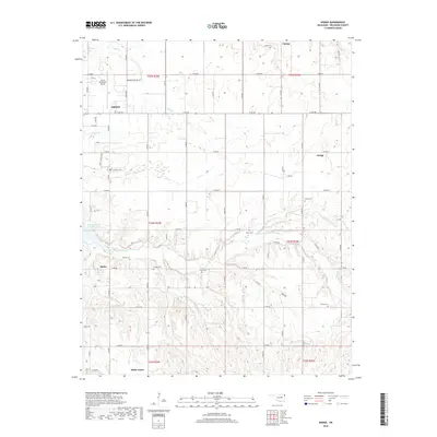
2018 Map of Dodge
USGS Topo · Published 2018About this map
Grove serves as the primary hub in this corner of Northeast Oklahoma, where the expansion of Grove Municipal Airport and a grid of secondary roads like E 290 RD define the local infrastructure. The landscape is deeply tied to the eastern reaches of Grand Lake O' the Cherokees, with the terrain carved by several significant waterways including Honey Cr and Wolf Cr. The map reveals a high density of small rural communities and family-associated landmarks that characterize Delaware County’s history.
Find a feature on this map
65 named features on this map. Tap any name to fly to it.
Don’t see what you’re looking for? This feature index may not catch every label — zoom into the map to look around manually.
Map Details
Editions of this 2018 Dodge Map
This is the sole edition of this map. No revisions or reprints were ever made.
Other maps of this area

1899 · Siloam Springs
USGS Topo · 1:125,000

1903 · Siloam Springs
USGS Topo · 1:125,000

1904 · Siloam Springs
USGS Topo · 1:125,000

1907 · Wyandotte
USGS Topo · 1:125,000

1909 · Wyandotte
USGS Topo · 1:125,000

1954 · Tulsa
USGS Topo · 1:250,000

1958 · Tulsa
USGS Topo · 1:250,000

1963 · Tulsa
USGS Topo · 1:250,000
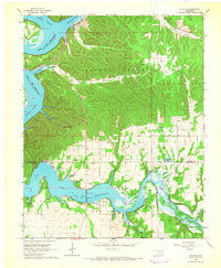
1964 · Cayuga
USGS Topo · 1:24,000

1964 · Dodge
USGS Topo · 1:24,000