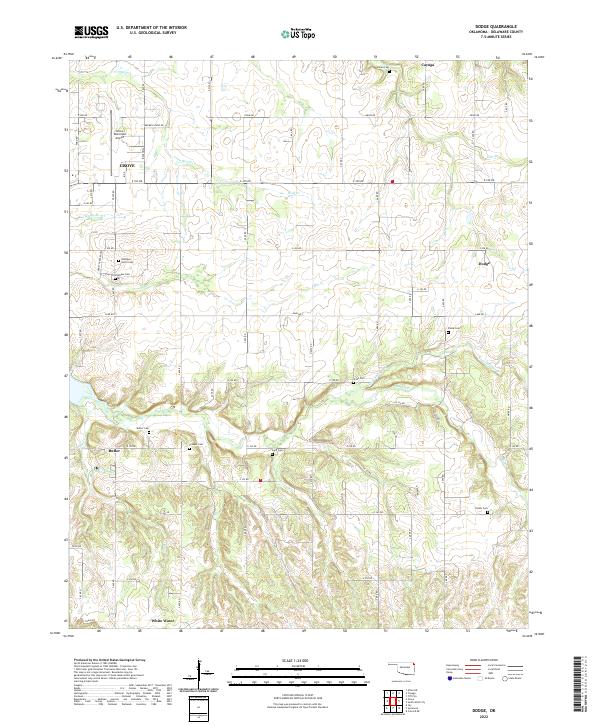
2022 Map of Dodge
USGS Topo · Published 2022About this map
The rolling landscape of eastern Oklahoma's Delaware County is defined by a dense network of creeks and small settlements. Cayuga and Dodge anchor the northern and eastern portions of the map, while White Water and Butler sit among the hills to the south and west. This area is notably rich in small family and community burial grounds, including Pollan Cem, Fields Cem, and Scraper Cem, which provide significant value for genealogical research in the region.
Find a feature on this map
64 named features on this map. Tap any name to fly to it.
Don’t see what you’re looking for? This feature index may not catch every label — zoom into the map to look around manually.
Map Details
Editions of this 2022 Dodge Map
This is the sole edition of this map. No revisions or reprints were ever made.
Other maps of this area

1899 · Siloam Springs
USGS Topo · 1:125,000

1903 · Siloam Springs
USGS Topo · 1:125,000

1904 · Siloam Springs
USGS Topo · 1:125,000

1907 · Wyandotte
USGS Topo · 1:125,000

1909 · Wyandotte
USGS Topo · 1:125,000

1954 · Tulsa
USGS Topo · 1:250,000

1958 · Tulsa
USGS Topo · 1:250,000

1963 · Tulsa
USGS Topo · 1:250,000
1964 · Cayuga
USGS Topo · 1:24,000

1964 · Dodge
USGS Topo · 1:24,000