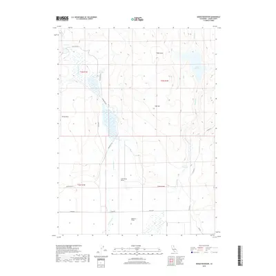
2018 Map of Dodge Reservoir
USGS Topo · Published 2018About this map
Dodge Reservoir and Union Reservoir sit within a high-elevation basin where the high desert meets the interior plateau. The landscape is defined by its seasonal hydrology, characterized by intermittent drainages like Red Rock Cr and Cold Spring Cr that feed into the sprawling, level expanse of the Madeline Plains. Significant topographical features such as Sugarloaf and Dorsey Butte interrupt the open basins, while Rabbit Basin offers a contained natural catchment to the north.
Find a feature on this map
21 named features on this map. Tap any name to fly to it.
Don’t see what you’re looking for? This feature index may not catch every label — zoom into the map to look around manually.
Map Details
Editions of this 2018 Dodge Reservoir Map
This is the sole edition of this map. No revisions or reprints were ever made.
Other maps of this area

1886 · Alturas
USGS Topo · 1:250,000

1886 · Honey Lake
USGS Topo · 1:250,000

1891 · Honey Lake
USGS Topo · 1:250,000

1892 · Alturas
USGS Topo · 1:250,000

1893 · Honey Lake
USGS Topo · 1:250,000

1954 · Observation Peak
USGS Topo · 1:62,500

1954 · Ravendale
USGS Topo · 1:62,500

1954 · Alturas
USGS Topo · 1:250,000

1955 · Westwood
USGS Topo · 1:250,000

1958 · Alturas
USGS Topo · 1:250,000