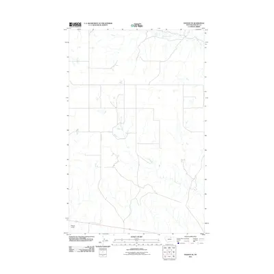
2011 Map of Dodson NE
USGS Topo · Published 2011About this map
Assiniboine Creek flows through the northern reaches of this Phillips County landscape, illustrating the ephemeral drainage patterns characteristic of the Montana plains. The terrain is defined by low-relief topography and wide, sweeping draws like Wagner Coulee, which cuts across the southwestern corner. In the central and southern portions of the quadrangle, Exeter Creek meanders through the open country, its course traced by seasonal water flow and occasional pools. Human presence is sparse and focused on the utilitarian road network, including N Wagner Rd, which provides access to this expansive grazing land. This 2011 survey captures the area as it remains largely undeveloped, preserving the fundamental drainage and landforms that have dictated ranching and migration routes through the region for generations.
Find a feature on this map
4 named features on this map. Tap any name to fly to it.
Don’t see what you’re looking for? This feature index may not catch every label — zoom into the map to look around manually.
Map Details
Editions of this 2011 Dodson NE Map
This is the sole edition of this map. No revisions or reprints were ever made.
Other maps of this area

1920 · Avery
USGS Topo · 1:125,000

1920 · Cowan
USGS Topo · 1:125,000

1953 · Havre
USGS Topo · 1:250,000

1954 · Glasgow
USGS Topo · 1:250,000

1957 · Glasgow
USGS Topo · 1:250,000

1957 · Havre
USGS Topo · 1:250,000

1958 · Glasgow
USGS Topo · 1:250,000

1958 · Havre
USGS Topo · 1:250,000

1964 · Dodson NE
USGS Topo · 1:24,000

1964 · Dodson
USGS Topo · 1:24,000