1985 Map of Dodson
USGS Topo · Published 1986About this map
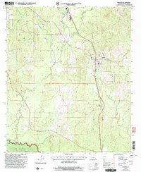
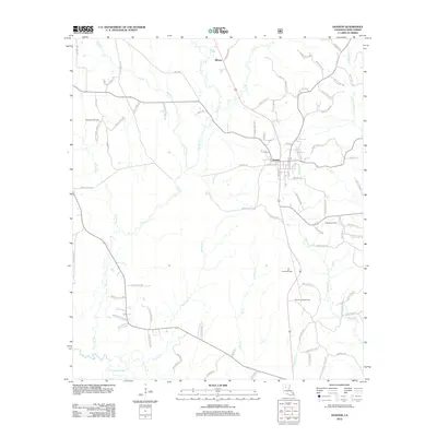
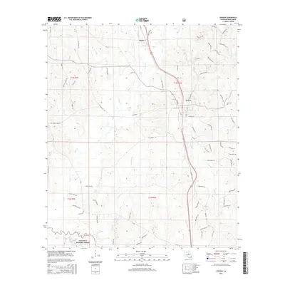
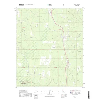
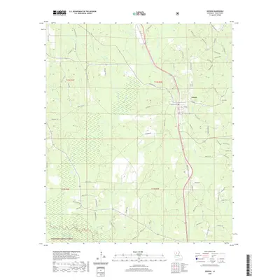
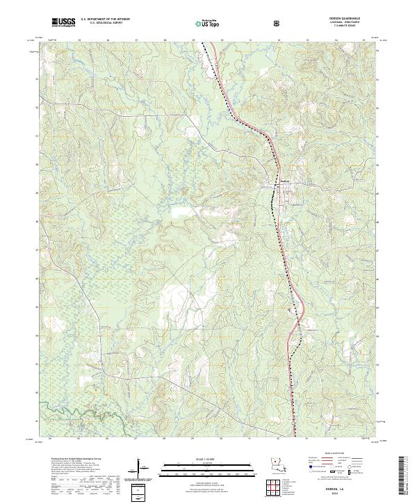
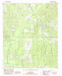
The town of Dodson serves as the central hub of this northern Winn Parish survey, situated in a landscape defined by an intricate network of waterways. Multiple tributaries including Big Creek, Antwine Creek, and Cypress Creek carve through the terrain, eventually feeding toward the Dugdemona River in the south. The southern edge of the map transitions into the Kisatchie National Forest, illustrating the region's long-standing connection to timber and conservation. A prominent Pipeline and several municipal landmarks, such as a Radio Tower and a Disposal Plant, mark the modest industrial footprint of the mid-1980s. Local history and genealogy researchers can locate a rural Cem and trace family-named water bodies like Hurricane Creek and Tannehill Cr, which provide clues to early settlement patterns in this part of Louisiana.
Find a feature on this map
17 named features on this map. Tap any name to fly to it.
Don’t see what you’re looking for? This feature index may not catch every label — zoom into the map to look around manually.
Map Details
Editions of this 1985 Dodson Map
This is the sole edition of this map. No revisions or reprints were ever made.
Historical Maps of Dodson Through Time
7 maps found