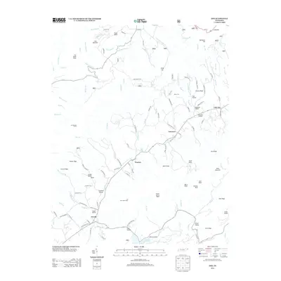
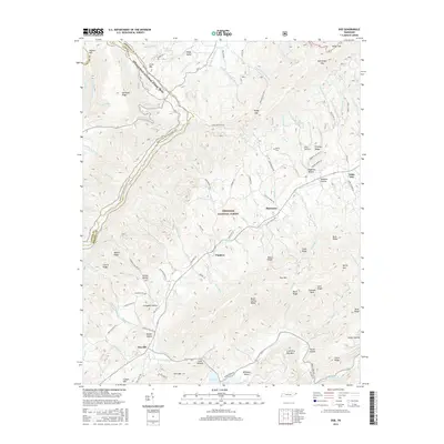
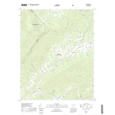
1938 Map of Doe
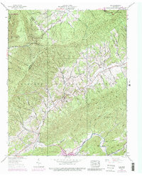
USGS Topo · Published 1989About this map
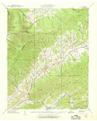
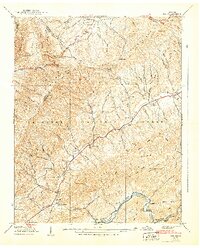
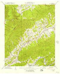
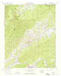
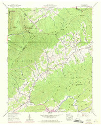
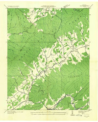
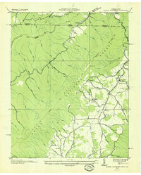
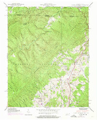
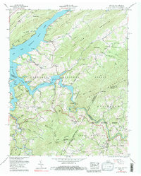
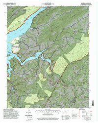
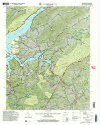
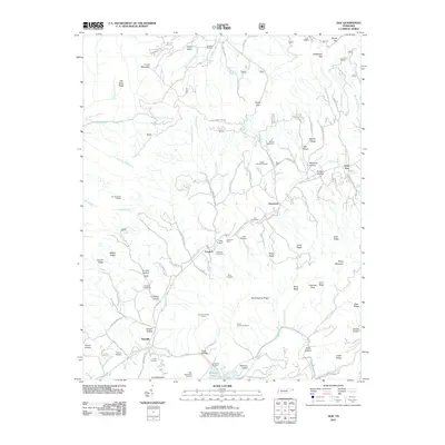
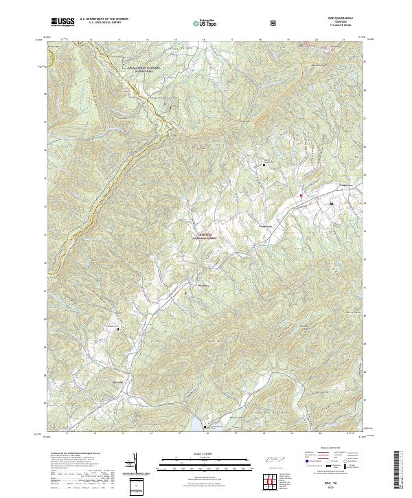
Iron Mountains and Doe Mountain dominate this corner of Tennessee, defining a landscape where narrow valleys dictate the path of community life. Settlements like Pandora, Little Doe, and Doeville are situated along the lower elevations, often clustered near water sources like Doe Creek or Roan Creek. The presence of a Dismantled Railroad following the course of Little Roan Creek indicates an era of industrial transport that had already transitioned by the time of the late 1930s survey.
Find a feature on this map
74 named features on this map. Tap any name to fly to it.
Don’t see what you’re looking for? This feature index may not catch every label — zoom into the map to look around manually.
Map Details
Editions of this 1938 Doe Map
6 editions found
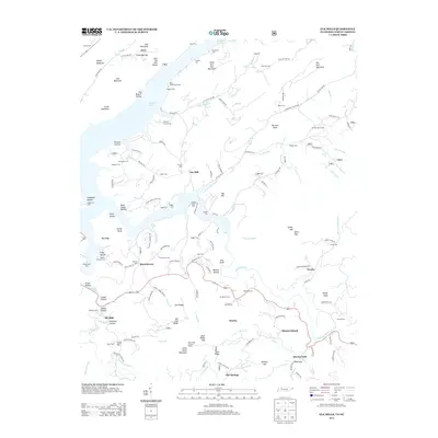
Historical Maps of Pandora Through Time
27 maps found
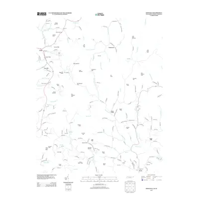
1935 Doe
Johnson County, TN
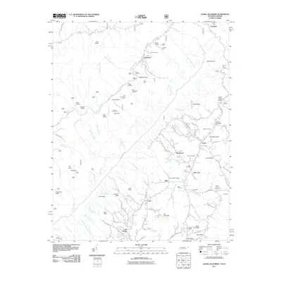
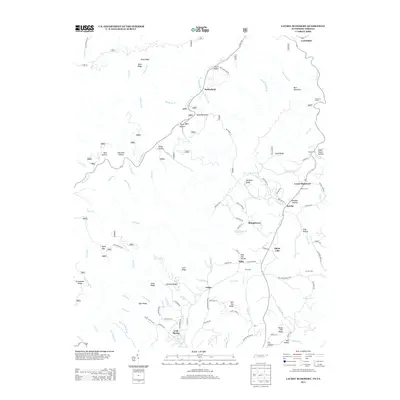
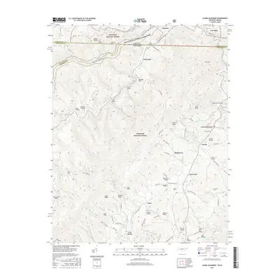
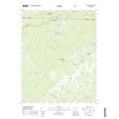
1935 Laurel Bloomery
Johnson County, TN
1938 Doe
Johnson County, TN
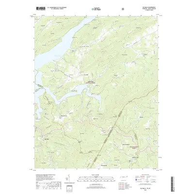
1938 Laurel Bloomery
Johnson County, TN
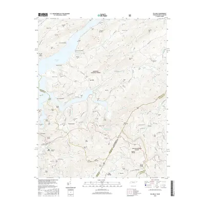
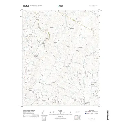
1959 Elk Mills
Johnson County, TN
1994 Elk Mills
Johnson County, TN
2003 Elk Mills
Johnson County, TN
2010 Zionville
Johnson County, TN
2011 Doe
Johnson County, TN
2011 Elk Mills
Johnson County, TN
2011 Laurel Bloomery
Johnson County, TN
2013 Doe
Johnson County, TN
2013 Elk Mills
Johnson County, TN
2013 Laurel Bloomery
Johnson County, TN
2013 Zionville
Johnson County, TN
2016 Doe
Johnson County, TN
2016 Elk Mills
Johnson County, TN
2016 Laurel Bloomery
Johnson County, TN
2016 Zionville
Johnson County, TN
2019 Doe
Johnson County, TN
2019 Elk Mills
Johnson County, TN
2019 Laurel Bloomery
Johnson County, TN
2019 Zionville
Johnson County, TN
2022 Doe
Johnson County, TN
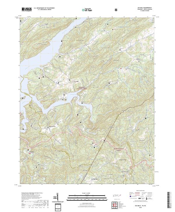
2022 Elk Mills
Johnson County, TN
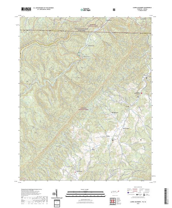
2022 Laurel Bloomery
Johnson County, TN
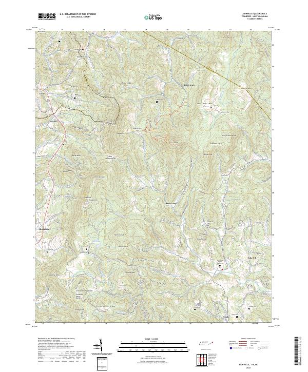
2022 Zionville
Johnson County, TN