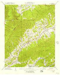
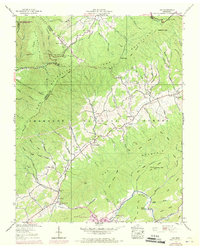
1938 Map of Doe
USGS Topo · Published 1969About this map
Iron Mountains and Doe Mountains converge in this high-altitude corner of Johnson and Carter counties, where the Cherokee National Forest dominates the landscape. The settlement of Little Doe serves as a small hub near Doe Valley Ch and Doe Valley Sch, while the scattered communities of Pandora and Doeville follow the winding paths of Little Doe Creek and Doe Creek. In the southern reaches of the quadrangle, the Southern railroad line tracks along the banks of Roan Creek near Doe Station. This 1938 survey documents a way of life deeply tied to the terrain, marked by family-named hollows and landmarks like Chimney Rock. Social centers are clearly defined by local institutions such as Dyson Grove Ch, Bethel Sch, and cemeteries like Campbell Cem, providing essential markers for genealogical research in this mountain region.
Find a feature on this map
91 named features on this map. Tap any name to fly to it.
Don’t see what you’re looking for? This feature index may not catch every label — zoom into the map to look around manually.
Map Details
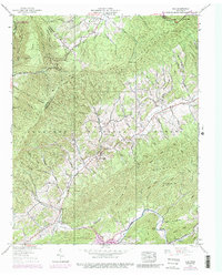
Editions of this 1938 Doe Map
6 editions found
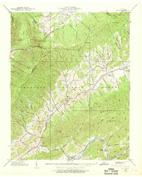
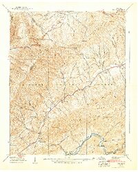
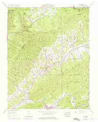
Other maps of this area

1891 · Roan Mountain
USGS Topo · 1:125,000

1891 · Abingdon
USGS Topo · 1:125,000

1893 · Cranberry
USGS Topo · 1:125,000

1894 · Roan Mountain
USGS Topo · 1:125,000

1894 · Abingdon
USGS Topo · 1:125,000

1895 · Cranberry
USGS Topo · 1:125,000

1897 · Bristol
USGS Topo · 1:125,000

1899 · Cranberry
USGS Topo · 1:125,000

1902 · Bristol
USGS Topo · 1:125,000

1902 · Cranberry
USGS Topo · 1:125,000