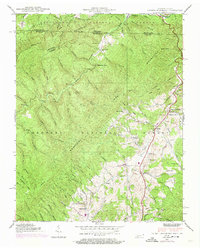
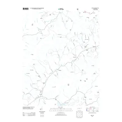
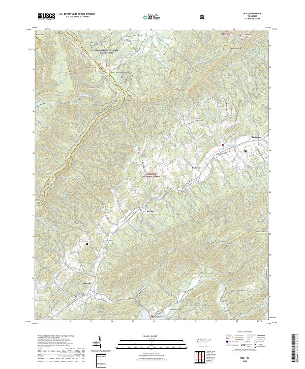
1938 Map of Doe
USGS Topo · Published 1957About this map
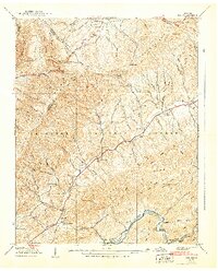
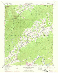
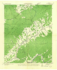
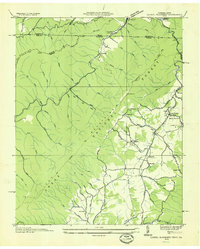
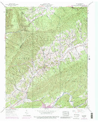
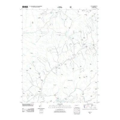
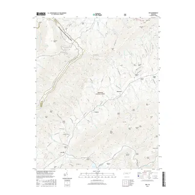
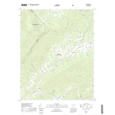
Iron Mountains and the winding course of Doe Creek dominate this 1938 landscape of Johnson and Carter counties. The topography reveals a tightly knit network of upland farms and rural institutions, where small settlements like Pandora and Little Doe served as local anchors. Family history is etched into the terrain through landmarks like Campbell Cem and Morley Cem, while the community's social structure is traced through numerous rural schoolhouses and churches, including Doe Valley Sch and Little Doe Ch.
Find a feature on this map
94 named features on this map. Tap any name to fly to it.
Don’t see what you’re looking for? This feature index may not catch every label — zoom into the map to look around manually.
Map Details
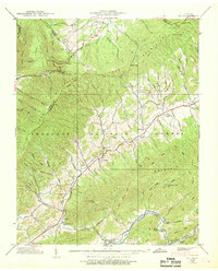
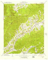
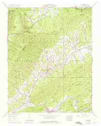
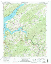
Editions of this 1938 Doe Map
6 editions found
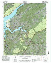
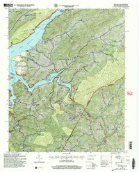
Historical Maps of Pandora Through Time
27 maps found
1935 Doe
Johnson County, TN
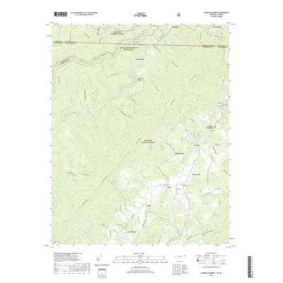
1935 Laurel Bloomery
Johnson County, TN
1938 Doe
Johnson County, TN
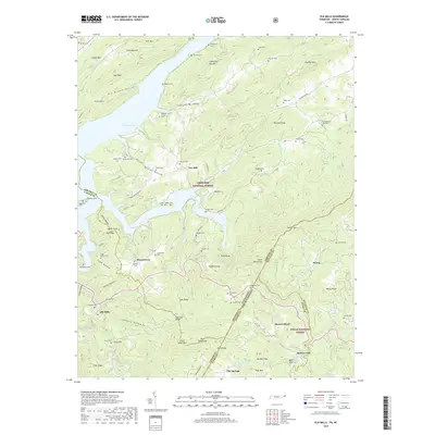
1938 Laurel Bloomery
Johnson County, TN
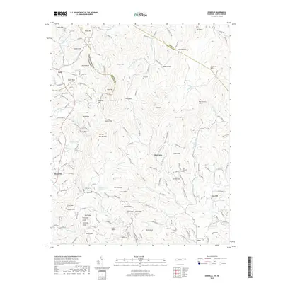
1959 Elk Mills
Johnson County, TN
1994 Elk Mills
Johnson County, TN
2003 Elk Mills
Johnson County, TN
2010 Zionville
Johnson County, TN
2011 Doe
Johnson County, TN
2011 Elk Mills
Johnson County, TN
2011 Laurel Bloomery
Johnson County, TN
2013 Doe
Johnson County, TN
2013 Elk Mills
Johnson County, TN
2013 Laurel Bloomery
Johnson County, TN
2013 Zionville
Johnson County, TN
2016 Doe
Johnson County, TN
2016 Elk Mills
Johnson County, TN
2016 Laurel Bloomery
Johnson County, TN
2016 Zionville
Johnson County, TN
2019 Doe
Johnson County, TN
2019 Elk Mills
Johnson County, TN
2019 Laurel Bloomery
Johnson County, TN
2019 Zionville
Johnson County, TN
2022 Doe
Johnson County, TN
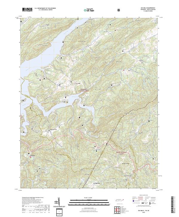
2022 Elk Mills
Johnson County, TN
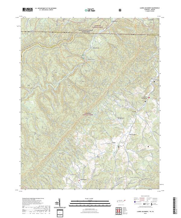
2022 Laurel Bloomery
Johnson County, TN
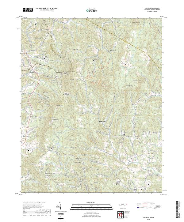
2022 Zionville
Johnson County, TN