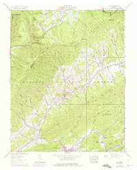
1938 Map of Doe
USGS Topo · Published 1971About this map
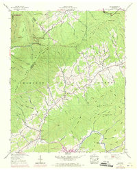
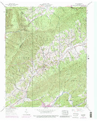
Iron Mountains and Doe Mountain dominate this corner of East Tennessee, where the Cherokee National Forest and Kettlefoot Wildlife Management Area preserve a landscape of steep ridges and narrow hollows. The settlement pattern is largely confined to the valleys of Doe Creek and Roan Creek, where small communities like Pandora, Doe Valley, and Doeville took root. The map records a shift in industrial infrastructure, notably marking a Dismantled Railroad that once traced the path of Roan Creek toward the reservoir.
Find a feature on this map
118 named features on this map. Tap any name to fly to it.
Don’t see what you’re looking for? This feature index may not catch every label — zoom into the map to look around manually.
Map Details
Editions of this 1938 Doe Map
6 editions found
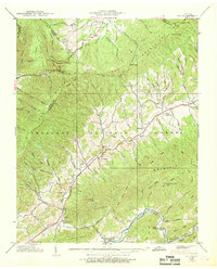
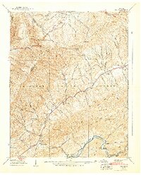
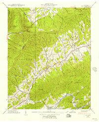
Other maps of this area

1891 · Roan Mountain
USGS Topo · 1:125,000

1891 · Abingdon
USGS Topo · 1:125,000

1893 · Cranberry
USGS Topo · 1:125,000

1894 · Roan Mountain
USGS Topo · 1:125,000

1894 · Abingdon
USGS Topo · 1:125,000

1895 · Cranberry
USGS Topo · 1:125,000

1897 · Bristol
USGS Topo · 1:125,000

1899 · Cranberry
USGS Topo · 1:125,000

1902 · Bristol
USGS Topo · 1:125,000

1902 · Cranberry
USGS Topo · 1:125,000