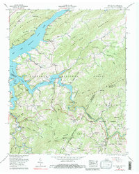
1959 Map of Elk Mills
USGS Topo · Published 1988About this map
Watauga Lake dominates the center of this 1959 Tennessee Valley Authority revision, its branching inlets flooding deep into Roan Creek and the Watauga River valley. The map documents the high-country settlements of the Appalachian borderlands, showing the community of Elk Mills and the clustered dwellings at Buntontown and Peoria. The landscape reflects a transition from early subsistence patterns to a managed forestry and recreational economy, evidenced by the Cherokee National Forest boundary and the presence of the Roan Creek Boat Dock and Gregg Boat Dock.
Find a feature on this map
99 named features on this map. Tap any name to fly to it.
Don’t see what you’re looking for? This feature index may not catch every label — zoom into the map to look around manually.
Map Details
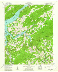
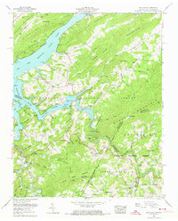
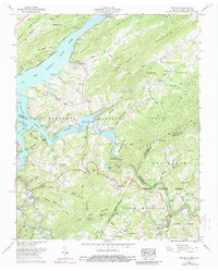
Editions of this 1959 Elk Mills Map
4 editions found
Other maps of this area

1891 · Roan Mountain
USGS Topo · 1:125,000

1893 · Cranberry
USGS Topo · 1:125,000

1894 · Roan Mountain
USGS Topo · 1:125,000

1895 · Cranberry
USGS Topo · 1:125,000

1899 · Cranberry
USGS Topo · 1:125,000

1902 · Cranberry
USGS Topo · 1:125,000

1904 · Roan Mountain
USGS Topo · 1:125,000

1934 · Valle Crucis
USGS Topo · 1:24,000

1934 · White Rocks Mtn
USGS Topo · 1:24,000

1934 · Elk Park
USGS Topo · 1:24,000