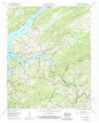
1959 Map of Elk Mills
USGS Topo · Published 1988About this map
Watauga Lake dominates the central landscape of this late-1950s survey, where the rising waters of the Tennessee Valley Authority system shaped the local geography. Small mountain communities and family-named landmarks are scattered across the high terrain of Stone Mountain and Beech Mountain. The map reveals a transition toward recreation with the Roan Creek Boat Dock and Gregg Boat Dock providing access to the reservoir.
Find a feature on this map
83 named features on this map. Tap any name to fly to it.
Don’t see what you’re looking for? This feature index may not catch every label — zoom into the map to look around manually.
Map Details
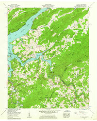
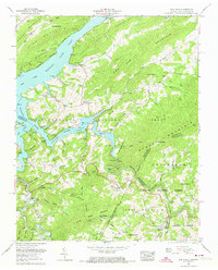
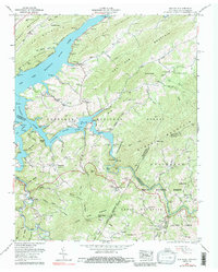
Editions of this 1959 Elk Mills Map
4 editions found
Other maps of this area

1891 · Roan Mountain
USGS Topo · 1:125,000

1893 · Cranberry
USGS Topo · 1:125,000

1894 · Roan Mountain
USGS Topo · 1:125,000

1895 · Cranberry
USGS Topo · 1:125,000

1899 · Cranberry
USGS Topo · 1:125,000

1902 · Cranberry
USGS Topo · 1:125,000

1904 · Roan Mountain
USGS Topo · 1:125,000

1934 · Valle Crucis
USGS Topo · 1:24,000

1934 · White Rocks Mtn
USGS Topo · 1:24,000

1934 · Elk Park
USGS Topo · 1:24,000