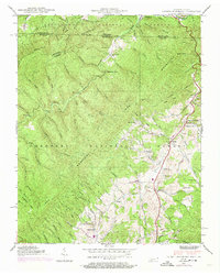
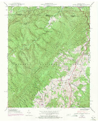
1938 Map of Laurel Bloomery
USGS Topo · Published 1974About this map
Iron Mountains and Holston Mountain dominate this landscape, where the borders of Tennessee and Virginia meet within the Jefferson National Forest and Cherokee National Forest. The settlement at Laurel Bloomery serves as a primary focal point, anchored by the Pleasant Home Ch. and nearby Gentry. The terrain is characterized by a dense network of hollows and ridges, such as Red Fox Ridge and Dark Hollow, illustrating the typical mountain community distribution of the late 1930s. Education and local heritage are marked by several rural schoolhouses including Sutherland Sch, Fairview Sch, and Atehison Sch. Geographic landmarks like Backbone Rock and Lowe Cave further define the area, while the Appalachian Trail winds across the high ridges. This map captures a moment before major modern development, reflecting a reliance on the local creek systems like Beaverdam Creek and Laurel Creek.
Find a feature on this map
98 named features on this map. Tap any name to fly to it.
Don’t see what you’re looking for? This feature index may not catch every label — zoom into the map to look around manually.
Map Details
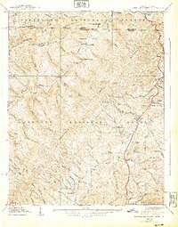
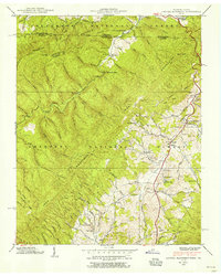
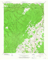
Editions of this 1938 Laurel Bloomery Map
5 editions found
Other maps of this area

1891 · Abingdon
USGS Topo · 1:125,000

1893 · Cranberry
USGS Topo · 1:125,000

1894 · Abingdon
USGS Topo · 1:125,000

1895 · Cranberry
USGS Topo · 1:125,000

1899 · Cranberry
USGS Topo · 1:125,000

1902 · Cranberry
USGS Topo · 1:125,000

1909 · Abingdon
USGS Topo · 1:96,000

1911 · Abingdon
USGS Topo · 1:125,000

1935 · Konnarock
USGS Topo · 1:24,000
1935 · Abingdon
USGS Topo · 1:24,000