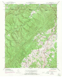
1938 Map of Laurel Bloomery
USGS Topo · Published 1971About this map
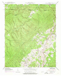
Iron Mountains dominate this borderland where Tennessee and Virginia meet, illustrating the rugged landscape before significant modern development. The community of Laurel Bloomery serves as a central hub in the valley, surrounded by smaller settlements like Sutherland and Eureka. The network of local education and faith is well-documented, with sites such as Sutherland Sch, Wills Sch, and Pleasant Home Ch. scattered through the clearings. Geologic and recreational landmarks are prominent, including the natural passage of Backbone Rock and the route of the Appalachian Trail as it crosses the state line. Long-standing family ties to the land are evident in the numerous burial grounds, such as Gentry Cem and Cornett Cem, while the industrial history of the region is whispered in names like Furnace Creek.
Find a feature on this map
67 named features on this map. Tap any name to fly to it.
Don’t see what you’re looking for? This feature index may not catch every label — zoom into the map to look around manually.
Map Details
Editions of this 1938 Laurel Bloomery Map
5 editions found
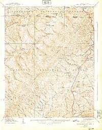
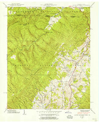
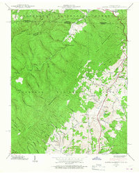
Other maps of this area

1891 · Abingdon
USGS Topo · 1:125,000

1893 · Cranberry
USGS Topo · 1:125,000

1894 · Abingdon
USGS Topo · 1:125,000

1895 · Cranberry
USGS Topo · 1:125,000

1899 · Cranberry
USGS Topo · 1:125,000

1902 · Cranberry
USGS Topo · 1:125,000

1909 · Abingdon
USGS Topo · 1:96,000

1911 · Abingdon
USGS Topo · 1:125,000

1935 · Konnarock
USGS Topo · 1:24,000
1935 · Abingdon
USGS Topo · 1:24,000