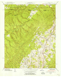
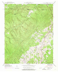
1938 Map of Laurel Bloomery
USGS Topo · Published 1956About this map
Laurel Bloomery and the neighboring settlements of Gentry and Eureka define the human footprint in this corner of Northeast Tennessee and Southwest Virginia during the late 1930s. The landscape is dominated by the ridges of Holston Mountain and the Iron Mountains, where the Appalachian Trail winds through the Jefferson National Forest. This era shows a community still deeply connected to its rural roots, evidenced by the numerous small schools like Atchison Sch and family-named landmarks like Stout Ridge and Gentry Cem.
Find a feature on this map
96 named features on this map. Tap any name to fly to it.
Don’t see what you’re looking for? This feature index may not catch every label — zoom into the map to look around manually.
Map Details
Editions of this 1938 Laurel Bloomery Map
5 editions found
Other maps of this area

1891 · Abingdon
USGS Topo · 1:125,000

1893 · Cranberry
USGS Topo · 1:125,000

1894 · Abingdon
USGS Topo · 1:125,000

1895 · Cranberry
USGS Topo · 1:125,000

1899 · Cranberry
USGS Topo · 1:125,000

1902 · Cranberry
USGS Topo · 1:125,000

1909 · Abingdon
USGS Topo · 1:96,000

1911 · Abingdon
USGS Topo · 1:125,000

1935 · Konnarock
USGS Topo · 1:24,000
1935 · Abingdon
USGS Topo · 1:24,000