Loading...
Loading map...1938 Map of Doe
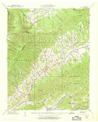
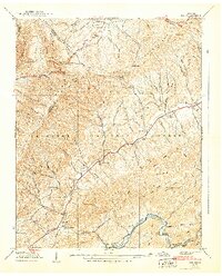
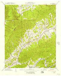
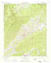
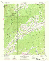
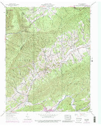
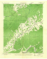
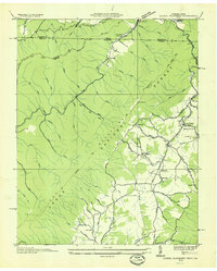
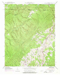
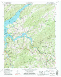
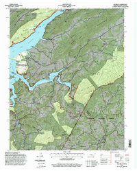
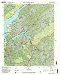
USGS Topo · Published 1938This historical map portrays the area of Doe in 1938, primarily covering Johnson County as well as portions of Sullivan County and Carter County. Featuring a scale of 1:24000, this map provides a highly detailed snapshot of the terrain, roads, buildings, counties, and historical landmarks in the Doe region at the time. Published in 1938, it is one of 6 known editions of this map due to revisions or reprints.
Map Details
Date Portrayed1938
Date Published1938
PublisherU.S. Geological Survey
Map TypeTopographic
Scale1:24000
Physical Dimensions22 x 27.4 inches
Editions of this 1938 Doe Map
6 editions found
Historical Maps of Pandora Through Time
7 maps found
Featured Locations
Source Details
SourceU.S. Geological Survey
CopyrightPublic Domain