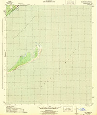
1943 Map of Dog Island
USGS Topo · Published 1943About this map
Camp Gordon Johnson anchors the northern mainland edge of this 1943 War Department survey, reflecting the coastal military presence during the Second World War. The map centers on the narrow barrier island of Dog I, separating the Saint George Sound from the open Gulf of Mexico. The mainland shoreline is defined by the Seaboard railroad and the coastal route of highway 319, which parallel the sound. This specific edition provides an essential view of the maritime and military geography of Franklin County before the post-war development of the Florida Panhandle coastline, capturing the area when its primary features were temporary military installations and established rail corridors.
Find a feature on this map
6 named features on this map. Tap any name to fly to it.
Don’t see what you’re looking for? This feature index may not catch every label — zoom into the map to look around manually.
Map Details
Editions of this 1943 Dog Island Map
4 editions found
Other maps of this area

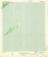
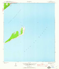
1943 · Dog Island
USGS Topo · 1:31,680

1943 · Carrabelle
USGS Topo · 1:24,000

1943 · St. Teresa Beach
USGS Topo · 1:24,000

1944 · Pickett Bay
USGS Topo · 1:31,680

1944 · Carrabelle
USGS Topo · 1:31,680

1944 · Sugar Hill
USGS Topo · 1:31,680

1945 · Mc Intyre
USGS Topo · 1:31,680

1945 · Sugar Hill
USGS Topo · 1:31,680

1945 · St Teresa
USGS Topo · 1:31,680

1945 · Pickett Bay
USGS Topo · 1:31,680