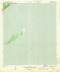
1943 Map of Dog Island
USGS Topo · Published 1943About this map
Camp Gordon Johnson occupies the mainland shoreline during the height of the Second World War, serving as a critical military training site along the Florida Panhandle. This coastal survey depicts the installation's proximity to the Seaboard railroad line, which provided essential logistics for troop movements and supplies. Across the waters of Saint George Sound lies the barrier formation of Dog Island, shown here with its salt marshes and dunes largely undeveloped. Facing the open Gulf of Mexico, the island's natural geography is captured in detail by topographer Roscoe Reeves, illustrating the tidal character of the sound before post-war changes altered the regional coastline. The map records a moment when military necessity and maritime isolation defined this section of Franklin County.
Find a feature on this map
5 named features on this map. Tap any name to fly to it.
Don’t see what you’re looking for? This feature index may not catch every label — zoom into the map to look around manually.
Map Details
Editions of this 1943 Dog Island Map
4 editions found
Other maps of this area

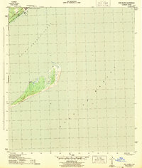
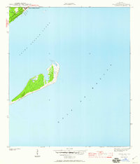
1943 · Dog Island
USGS Topo · 1:31,680

1943 · Carrabelle
USGS Topo · 1:24,000

1943 · St. Teresa Beach
USGS Topo · 1:24,000

1944 · Pickett Bay
USGS Topo · 1:31,680

1944 · Carrabelle
USGS Topo · 1:31,680

1944 · Sugar Hill
USGS Topo · 1:31,680

1945 · Mc Intyre
USGS Topo · 1:31,680

1945 · Sugar Hill
USGS Topo · 1:31,680

1945 · St Teresa
USGS Topo · 1:31,680

1945 · Pickett Bay
USGS Topo · 1:31,680