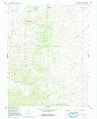
1967 Map of Dog Mountain
USGS Topo · Published 1991About this map
Rio Grande National Forest defines the character of this high-elevation landscape, where the terrain is marked by prominent summits like Dog Mountain and Pup Peak. The drainage network is complex, featuring the convergence of San Francisco Creek, Limekiln Creek, and several deep canyons including Nicomodes Gulch and Bonafacio Gulch. Historical land use is evident in the presence of Dry Creek Corral in the southern reaches and a Gaging Sta along the western waters, indicating early water management efforts in this part of Rio Grande County.
Find a feature on this map
21 named features on this map. Tap any name to fly to it.
Don’t see what you’re looking for? This feature index may not catch every label — zoom into the map to look around manually.
Map Details
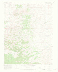
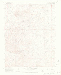
Editions of this 1967 Dog Mountain Map
3 editions found
Other maps of this area

1915 · Del Norte
USGS Topo · 1:125,000

1917 · Del Norte
USGS Topo · 1:125,000

1922 · Conejos
USGS Topo · 1:125,000

1945 · Durango
USGS Topo · 1:250,000

1953 · Durango
USGS Topo · 1:250,000

1954 · Durango
USGS Topo · 1:250,000

1961 · Durango
USGS Topo · 1:250,000

1963 · Durango
USGS Topo · 1:250,000

1964 · Sevenmile Plaza
USGS Topo · 1:24,000

1964 · Monte Vista
USGS Topo · 1:24,000