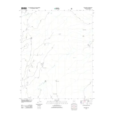
2012 Map of Dog Point
USGS Topo · Published 2012About this map
Dog Point and the surrounding high plateau of Coconino County are defined by a network of drainage systems and isolated water sources characteristic of this arid Arizona landscape. The 2012 topography reveals the intricate descent of Upper Tater Canyon and the winding course of N Canyon Wash. Land management and ranching history are evident through named water improvements such as Dog Canyon Tank and Mackelprang Tank, which provide critical resources in a region where surface water is otherwise limited to seasonal springs like Crystal Spring and North Canyon Spring.
Find a feature on this map
46 named features on this map. Tap any name to fly to it.
Don’t see what you’re looking for? This feature index may not catch every label — zoom into the map to look around manually.
Map Details
Editions of this 2012 Dog Point Map
This is the sole edition of this map. No revisions or reprints were ever made.
Other maps of this area

1886 · Echo Cliffs
USGS Topo · 1:250,000

1886 · Kaibab
USGS Topo · 1:250,000

1891 · Echo Cliffs
USGS Topo · 1:250,000

1936 · Jacobs Lake
USGS Topo · 1:48,000

1940 · Jacob Lake
USGS Topo · 1:62,500

1953 · Jacobs Lake
USGS Topo · 1:62,500

1953 · Grand Canyon
USGS Topo · 1:250,000

1954 · Nankoweap
USGS Topo · 1:62,500

1954 · Emmett Wash
USGS Topo · 1:62,500

1956 · Marble Canyon
USGS Topo · 1:250,000